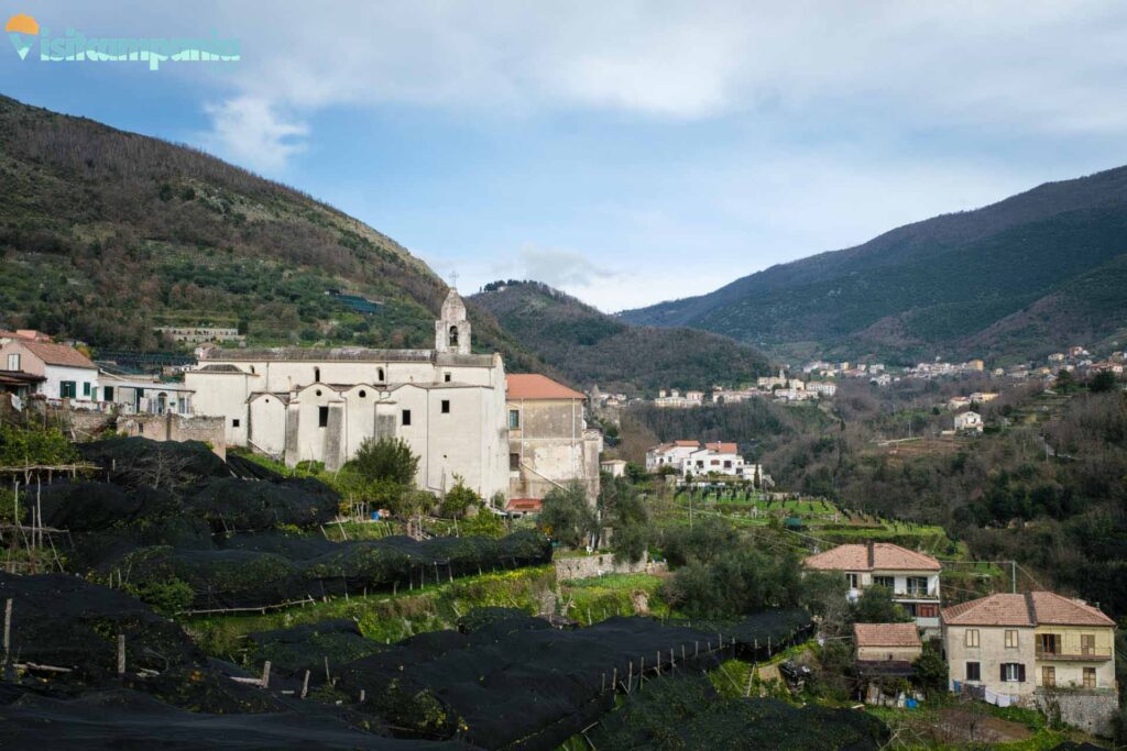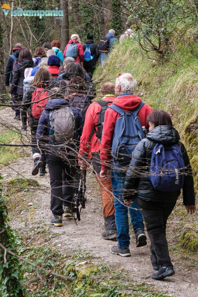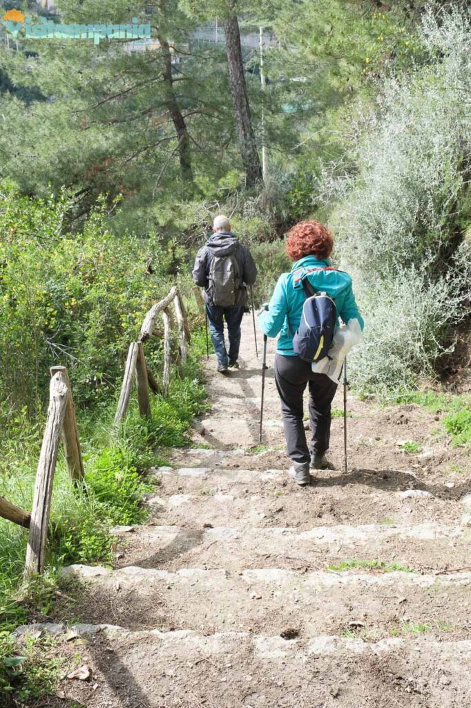
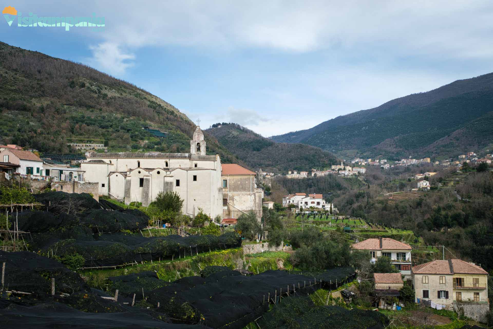
The path that connects Tramonti to Maiori on the Amalfi Coast winds through enchanting landscapes that vary from the mountains to the sea . With a length of almost 7 km , a positive difference in altitude of 206 meters and a negative difference in altitude of 423 meters , this medium-difficulty route is perfect for nature and trekking lovers. The starting point is located near the Church of Sant’Elia Profeta, in the hamlet of Paterno Sant’Elia in Tramonti . This historic building, dating back to the 15th century, is currently closed to the public, but its external facade is still worth a stop to admire its architecture.

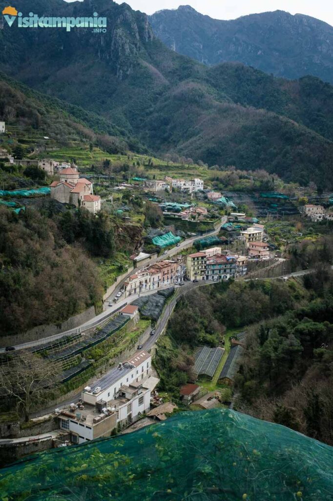
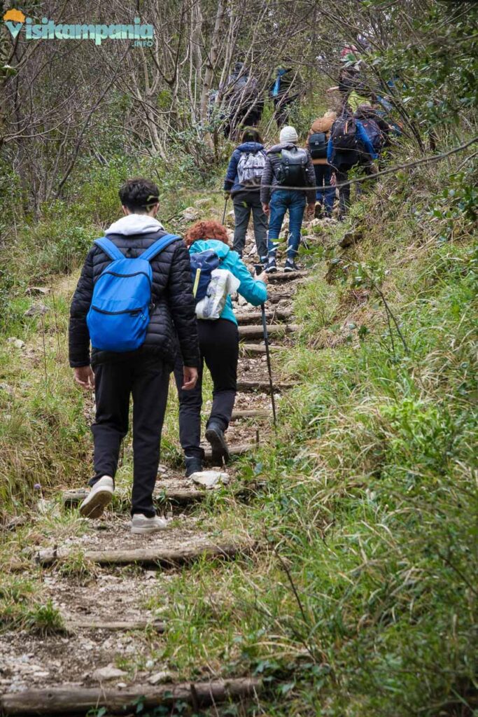
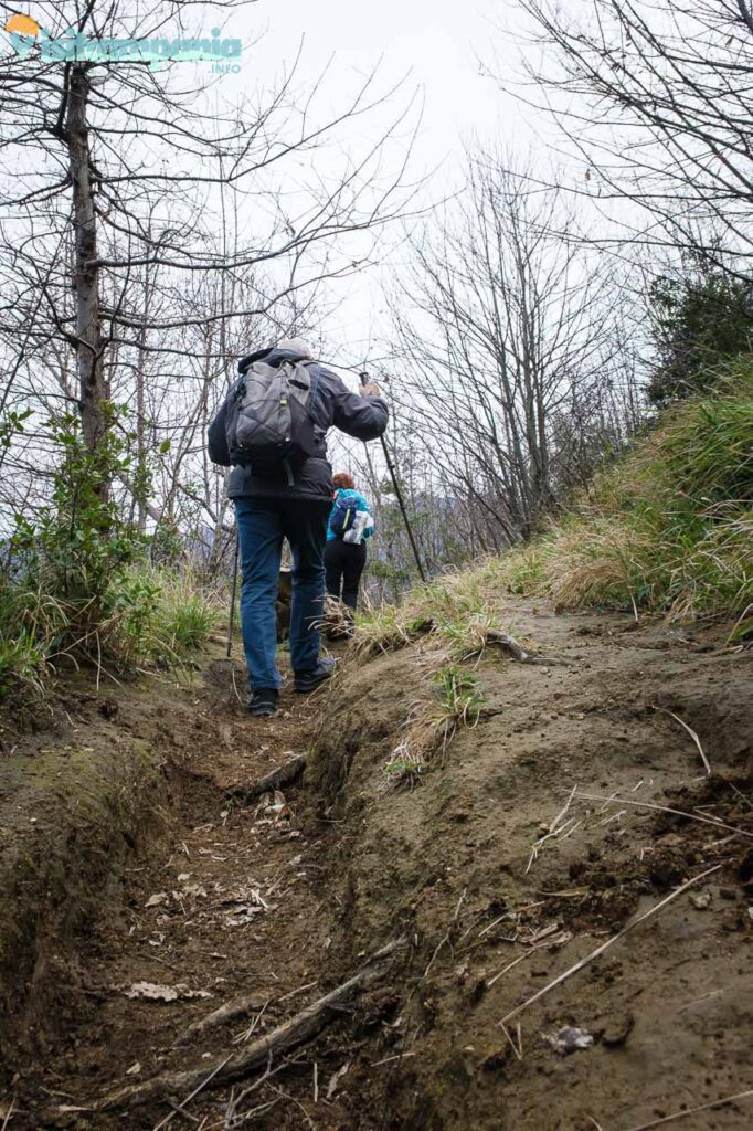
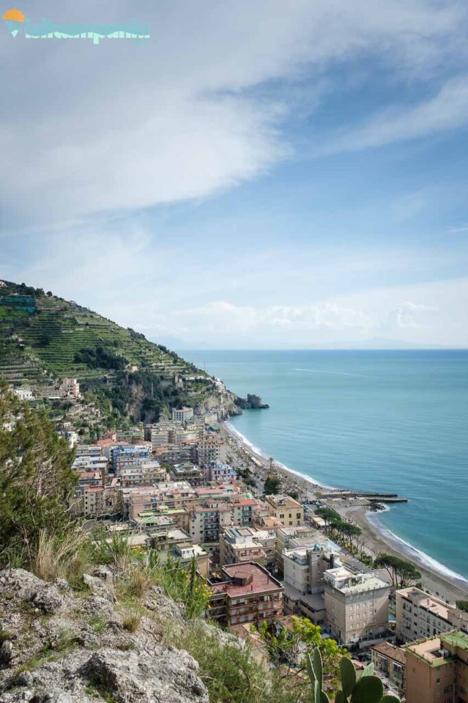
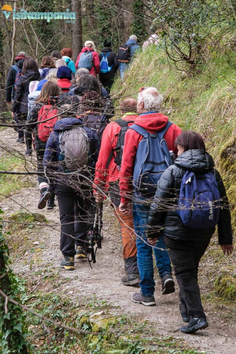
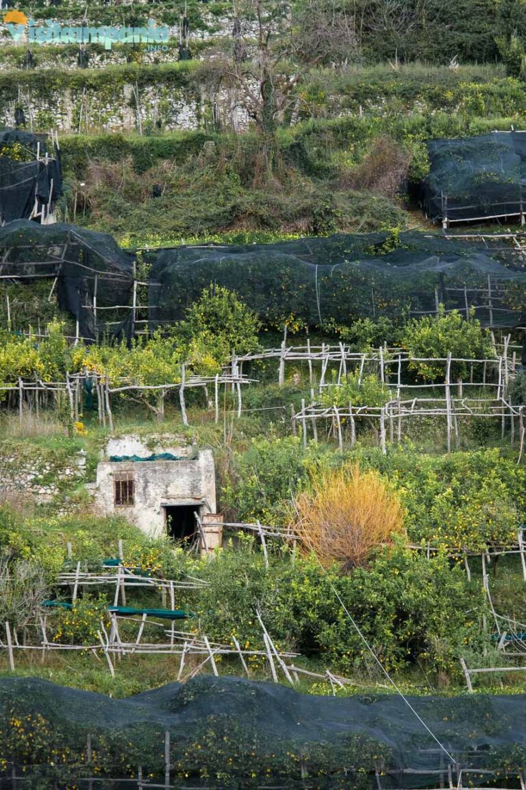
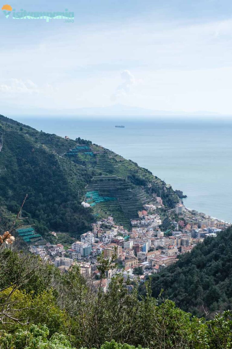
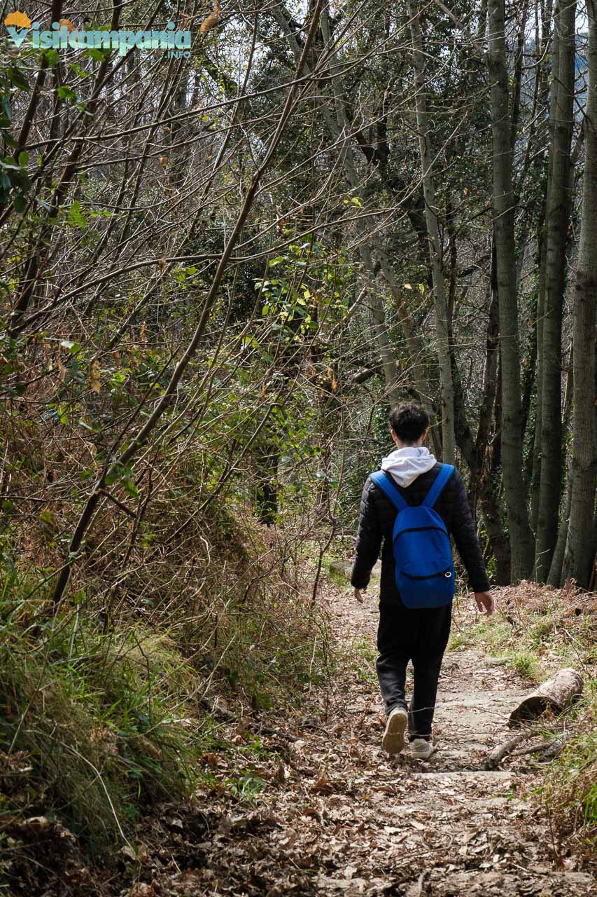
The first 3 km of the trail are characterized by a gentle descent , ideal for warming up and admiring the surrounding panorama. After passing a fork in the road, continue on the right, starting the 1.5 km climb with an average gradient of 12.8% . This stretch, although short, requires good physical preparation, especially due to the sections carved out by water and the steps on the trail. Halfway up the climb, a short downhill stretch offers a moment of respite, before continuing the climb towards a small panoramic esplanade 320 meters above sea level. From here, the view extends over the entire Maiori , offering a breathtaking spectacle. The presence of a picnic table invites you to stop to enjoy the view and refresh yourself.
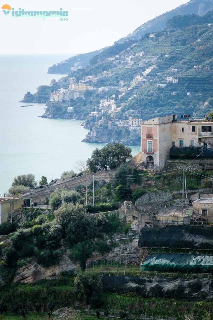
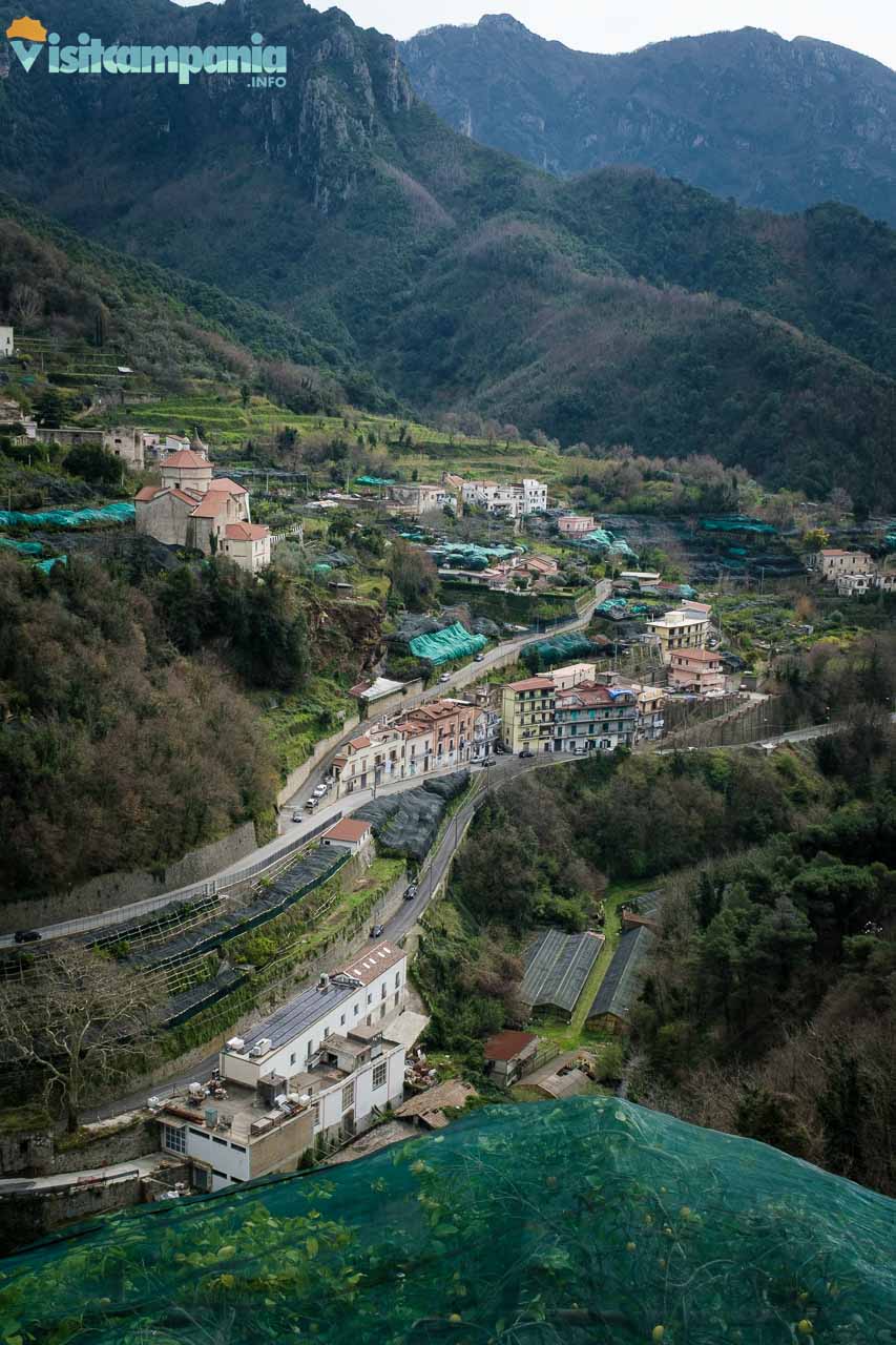
From the mountain to the sea: The descent towards Maiori
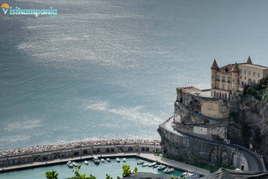
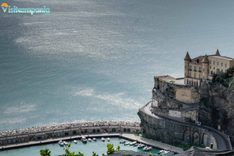
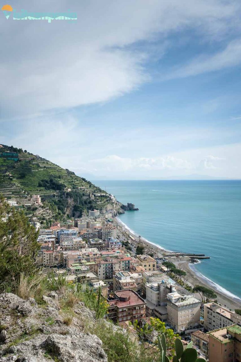
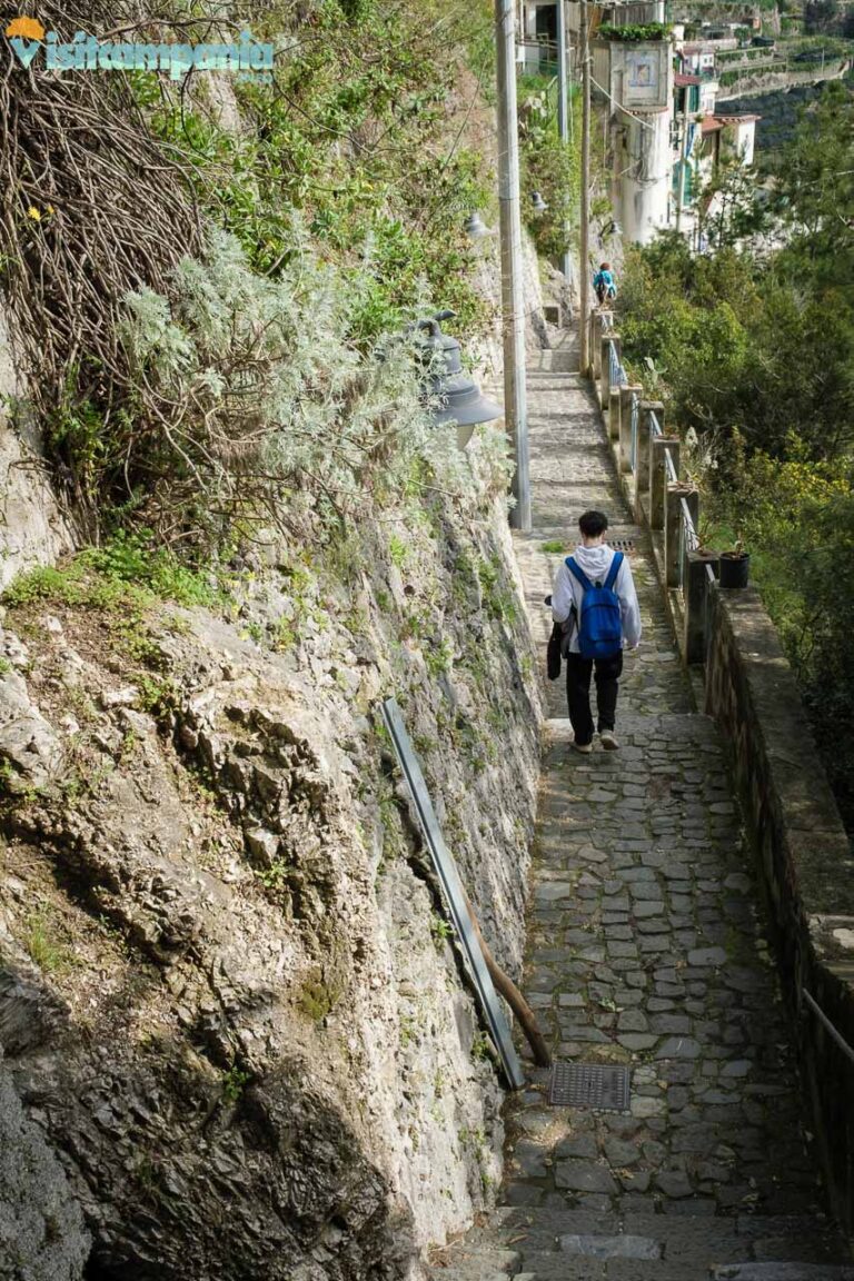
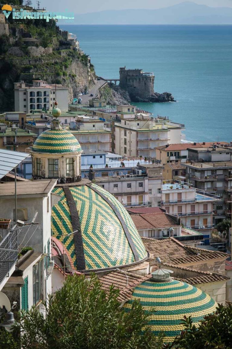
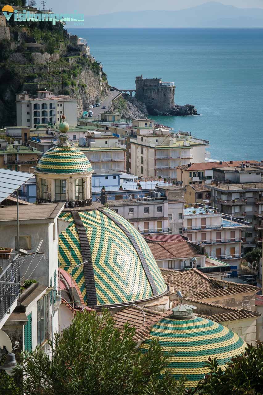
The descent to Maiori, 1.7 km long, is steep but without any particular technical difficulties . The last stretch winds along a small road made of stone paving, with steps and slightly sloping sections. Just before reaching the centre of Maiori, you come across the Collegiata di Santa Maria a Mare , with its majolica domes that shine in the sun. This religious building, with its typical Amalfi Coast architecture, is a true gem to admire. The route ends on the Maiori seafront , where the view of the sea and the coast repays all the effort.
How to get back to the starting point
To return to the starting point you have three options .
The first option , the most convenient, is to take a bus from Maiori to Tramonti . The service is provided by SITA SUD . Consider, however, that the closest stop is about one kilometer and seven hundred meters from the starting point and that the road has a good uphill stretch (estimated journey time at least 23 minutes).
Secondly , if you miss the bus or feel like walking, you can reach the starting point from Maiori by following the SP2a , 5.3 km almost all uphill for a travel time of at least an hour and 10 minutes at a good pace.
Finally , but this is the most expensive option, you can retrace the path you took . Keep in mind, however, that the total length will double and, above all, the total difference in altitude uphill will be 629 meters .
Useful tips for the excursion
- Wear suitable trekking shoes , preferably waterproof, to best tackle slippery sections and steps.
- Bring enough water with you , especially during the summer months.
- Check the weather forecast before leaving and avoid the excursion in case of rain or bad weather.
- Respect the surrounding environment , avoiding leaving waste and disturbing the local fauna.